Ocean Cay Marine Reserve
Coastal, marine, environmental and modeling support for a private island destination.
- Location: Ocean Cay, The Bahamas
- Market: Cruise Lines
An Ambitious Island Transformation
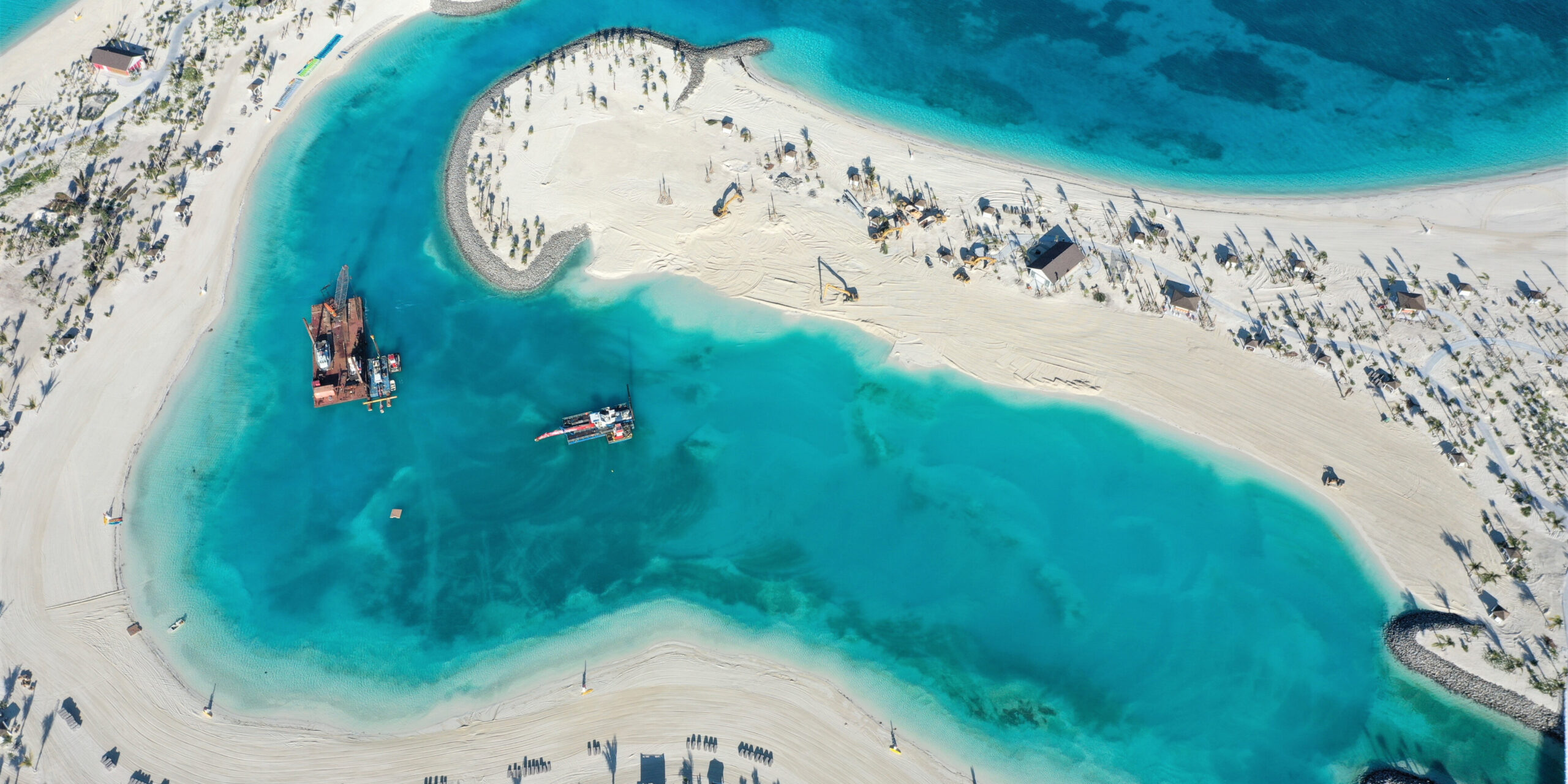
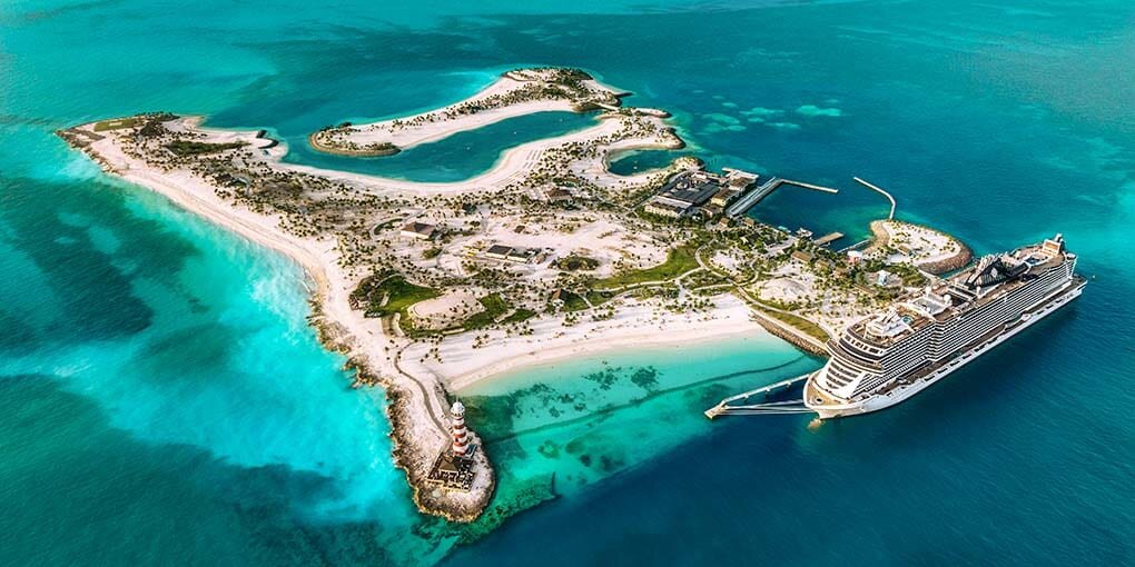
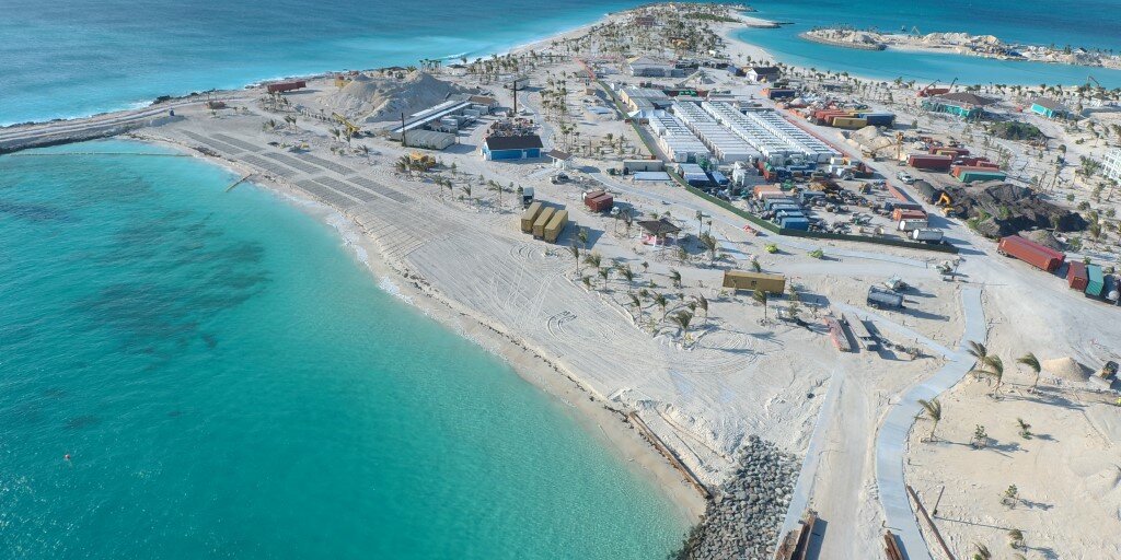
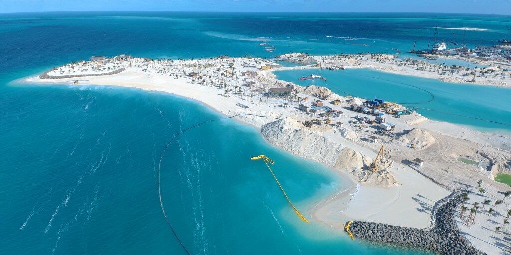
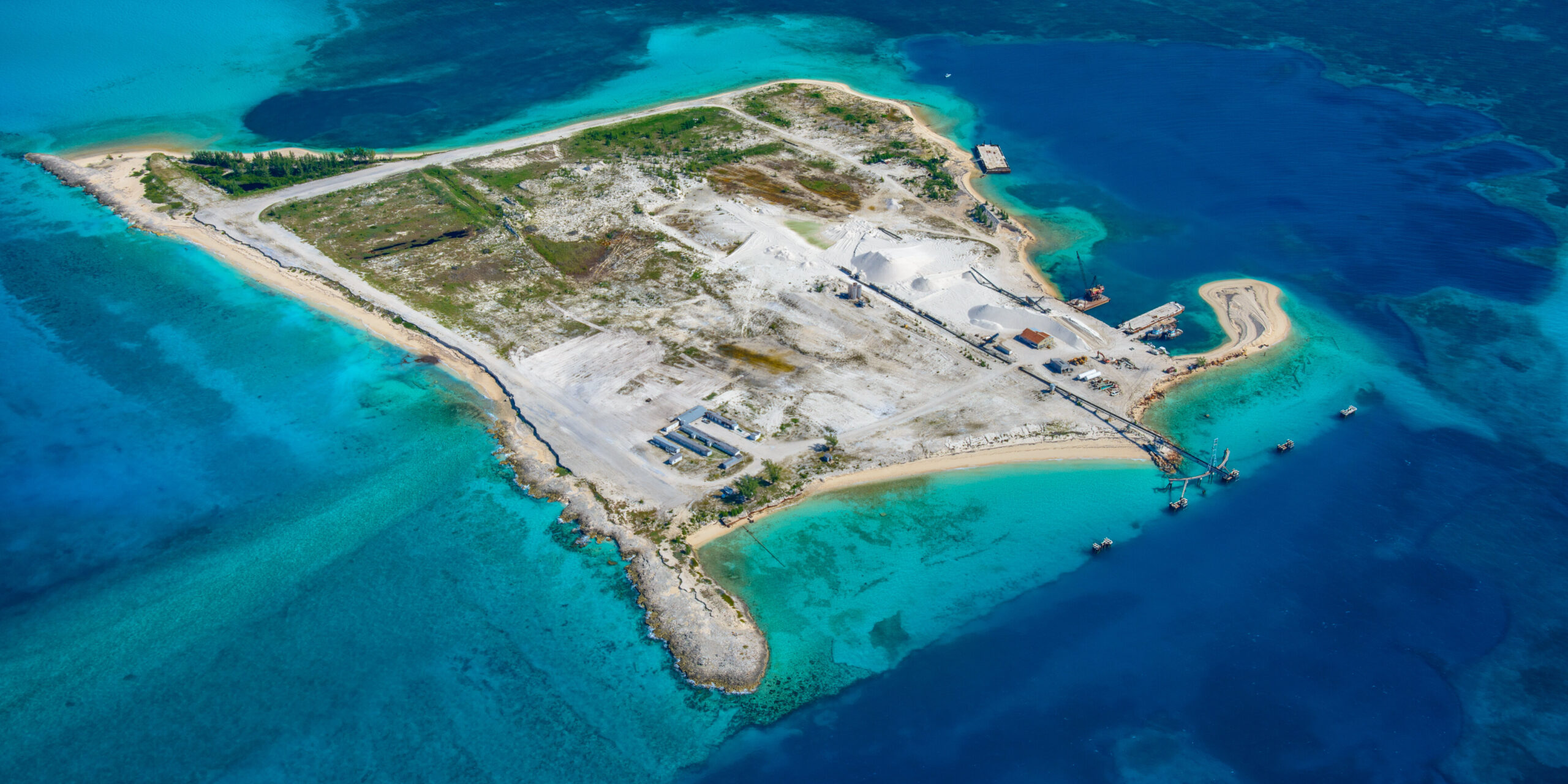
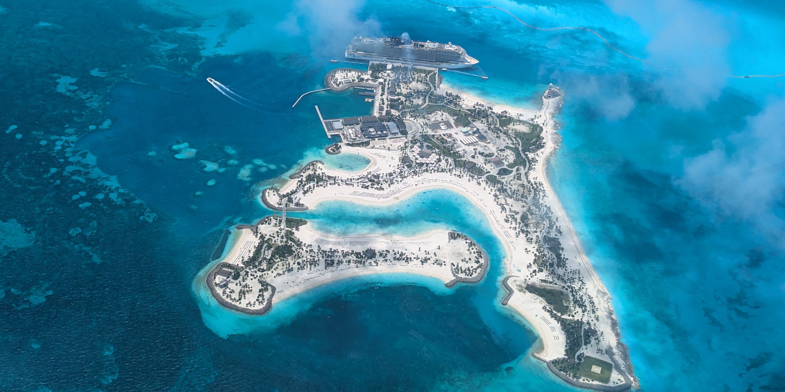
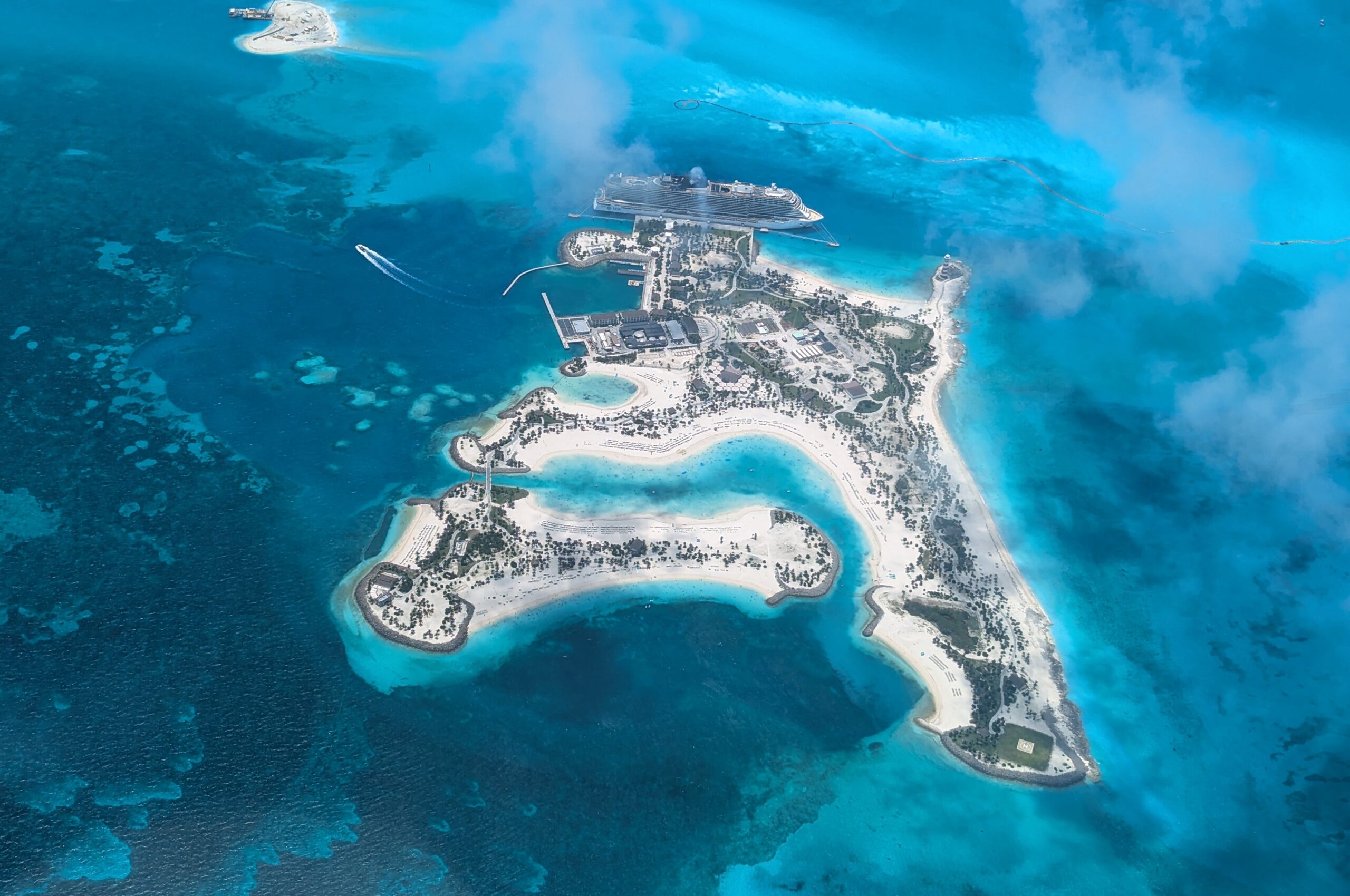
Ocean Cay began as an ambitious island transformation: converting a former industrial site into a private cruise destination shaped by beaches, lagoons, marine habitat and open-water coastal forces.
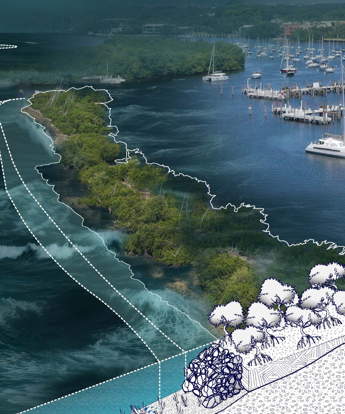
For Mediterranean Shipping Company Cruises (MSC), the project required a detailed understanding of the island itself, including elevations, water levels, marine resources, storm exposure, sediment movement and shoreline conditions. Cummins Cederberg was retained to lead surveying and coastal engineering, as well as the Environmental Impact Analysis and Environmental Management Plan.
Ocean Cay’s remote location meant the project team could not rely on complete existing site information. Cummins Cederberg helped establish the technical foundation needed to support design, environmental review and long-term performance.
Key Features
- Topographic and bathymetric surveying
- Rectified aerials
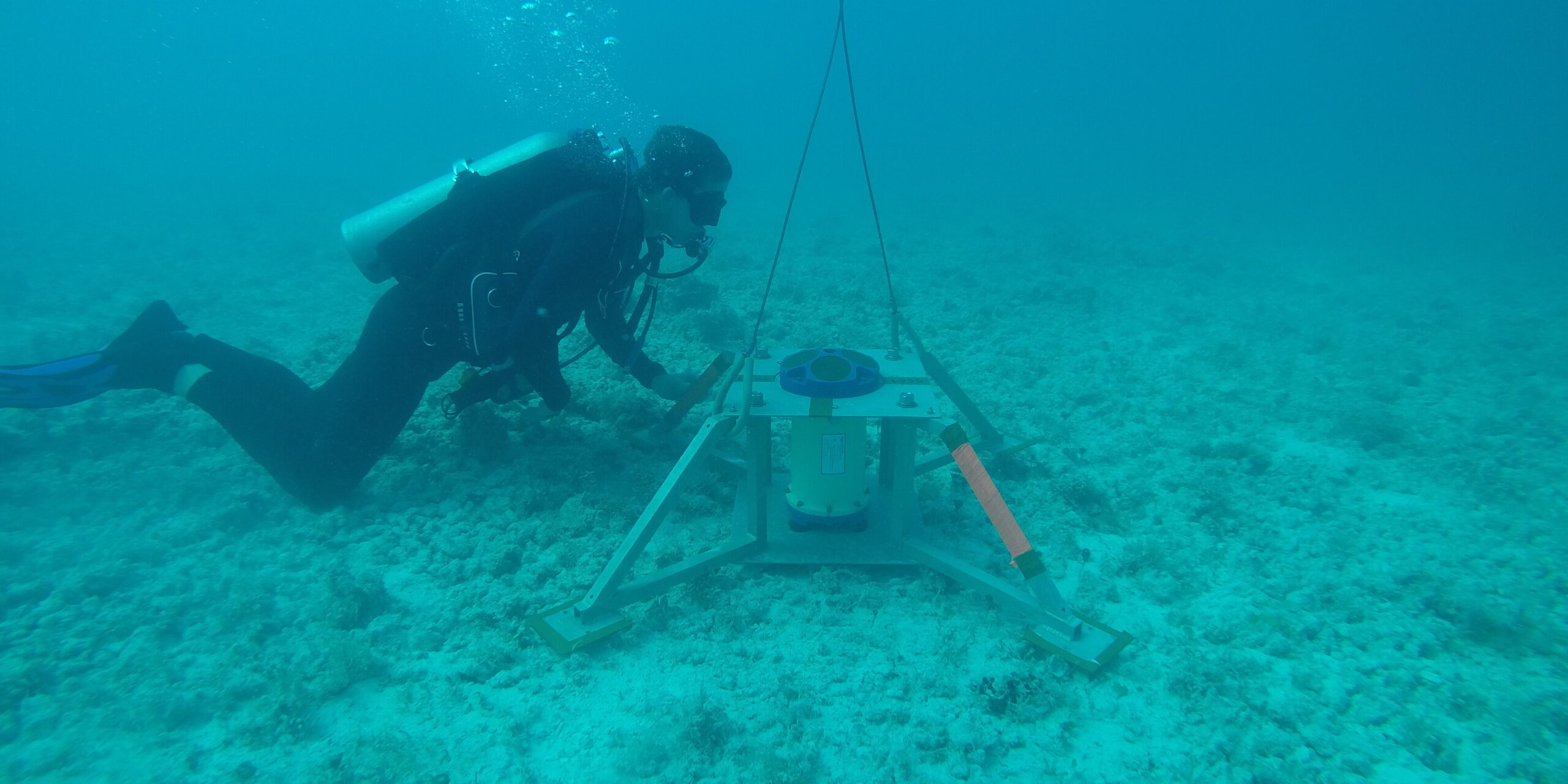
- Long-term tidal study
- Marine resource survey
- Environmental Impact Analysis and Environmental Management Plan
- Hurricane and wave modeling using MIKE21
- Sediment transport study
- Water circulation modeling
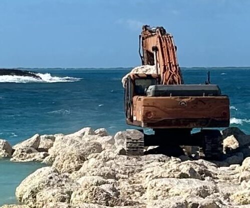
- Shoreline stabilization
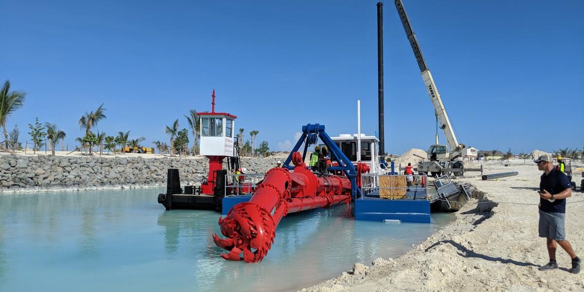
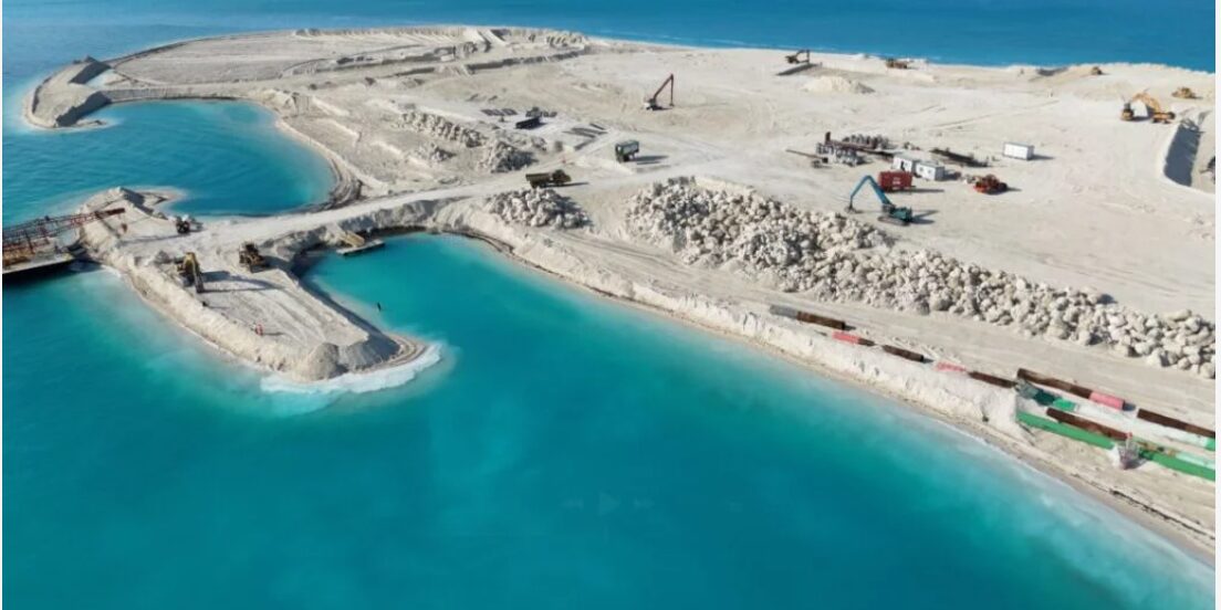
- Island expansion through reclamation and excavation
Services
- Coastal Engineering & Modeling
- Coastal Planning & Resiliency
- Marine Structural Engineering
Key Project Considerations
Limited existing site information because of the remote island location
Need to redevelop control points and water levels
Tidal levels needed for dredge and storm surge elevation decisions
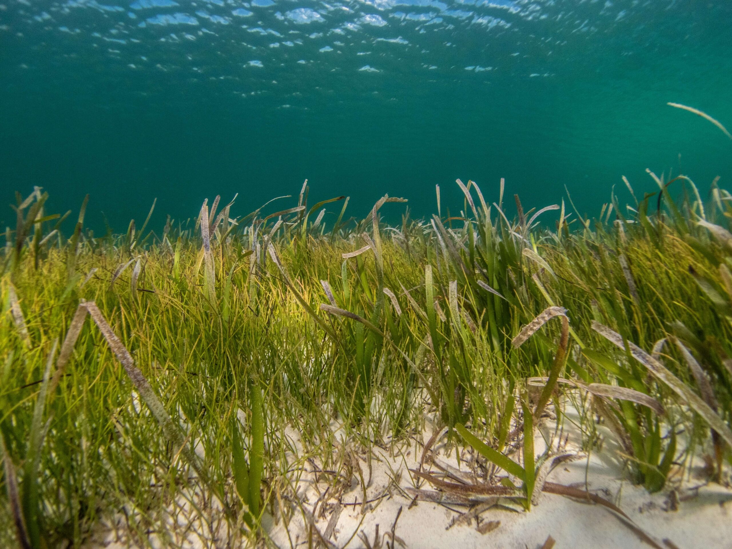
Seagrass and coral resources that could potentially be affected by construction
Hurricane, wave and storm surge exposure
Sediment movement related to beach design
Water exchange within the island’s interior lagoons
Shoreline stability during extreme hurricane conditions
How Cummins Cederberg Helped
Cummins Cederberg began by helping the project team understand the island in detail. The team performed topographic and bathymetric surveying, prepared rectified aerials and redeveloped key site information, including control points and water levels. A long-term tidal study helped determine tidal levels for dredge and storm surge elevations, while a marine resource survey mapped seagrass and corals that could potentially be affected by construction.
The team also prepared the Environmental Impact Analysis, which was approved by the BEST Commission, along with the Environmental Management Plan. To support design decisions, Cummins Cederberg conducted detailed hurricane and wave modeling using MIKE21 software, prepared a flood map with minimum finished floor elevations and analyzed extreme wave and storm surge conditions.
Advancing the Work
- Environmental review and approval
- Better understanding of tidal, wave and storm surge conditions
- Flood elevation guidance for the design team
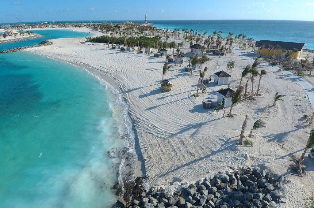
- Beach design informed by sediment transport analysis
- Lagoon planning supported by water circulation modeling
- Marine structure design considerations under extreme conditions
- Shoreline stabilization in critical areas of the island perimeter
- Island expansion through reclamation and excavation
Supporting cruise-related waterfront projects shaped by operational demands, resiliency considerations, permitting requirements, and complex coastal conditions.
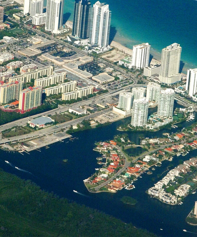
Helping coastal communities evaluate risk, improve resilience, protect infrastructure, and prepare for changing environmental and shoreline conditions.
Magna laboris commodo enim quis exercitation occaecat dolore voluptate nulla sunt cupidatat voluptate et magna ullamco. Sint laboris do mollit proident occaecat velit quis.
Magna laboris commodo enim quis exercitation occaecat dolore voluptate nulla sunt cupidatat voluptate et magna ullamco. Sint laboris do mollit proident occaecat velit quis.
Magna laboris commodo enim quis exercitation occaecat dolore voluptate nulla sunt cupidatat voluptate et magna ullamco. Sint laboris do mollit proident occaecat velit quis.
- Environmental Resource Management
- Marine Structural Engineering
- Coastal Engineering & Modeling
- Coastal Planning & Resiliency
- Marine Structural Engineering
- Environmental Resource Management
- Marine Structural Engineering
- Marine Structural Engineering
- Navigation & Dredging
Considering a Similar Cruise Destination Project?
Are you considering or working on a similar cruise destination project? Before design moves too far ahead, cruise lines, private developers and resort owners need a clear understanding of the coastal, marine and environmental conditions that will shape the project.
For private island and cruise destination work, early coastal engineering and marine engineering studies can help evaluate surveying needs, tidal conditions, marine resources, wave exposure, storm surge, sediment movement, water circulation, shoreline stabilization and permitting requirements. These early studies can help owners make stronger design decisions, anticipate constraints and reduce avoidable issues later in the project.