Coastal Process & Hydrodynamic Modeling
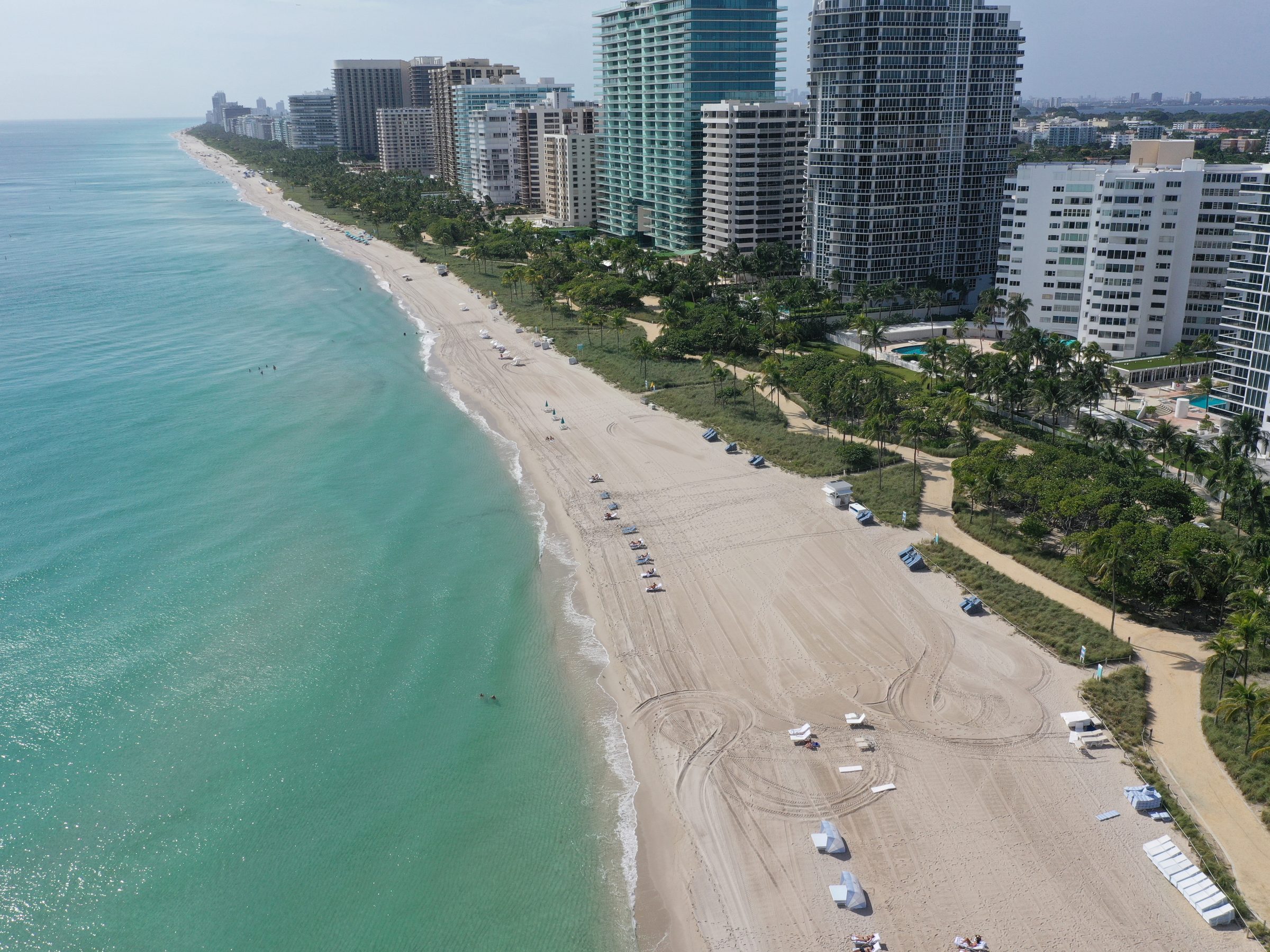
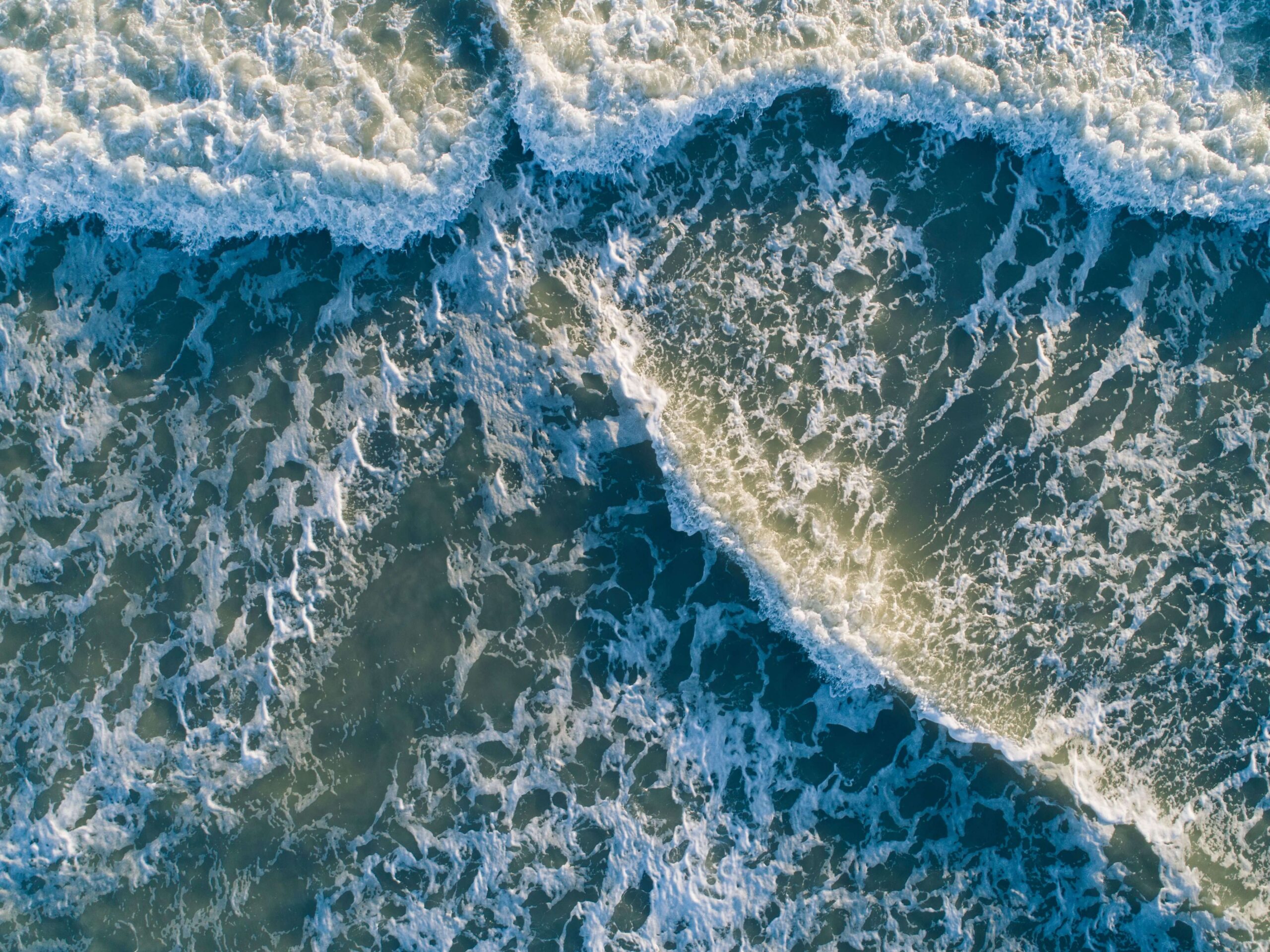
Evaluating waves, tides, currents, water levels and sediment movement to understand how coastal systems behave and how proposed improvements may perform.
Sample alert bar. Lorem Ipsum Dolor Sit Amet Consectetur. Learn More

Waves, tides, currents, sediment, storms, flooding and shoreline change all influence what is possible, what is practical and what will perform over time. Cummins Cederberg helps clients evaluate those conditions before critical decisions are made, translating coastal behavior into guidance for design, permitting, funding, infrastructure and maintenance planning.
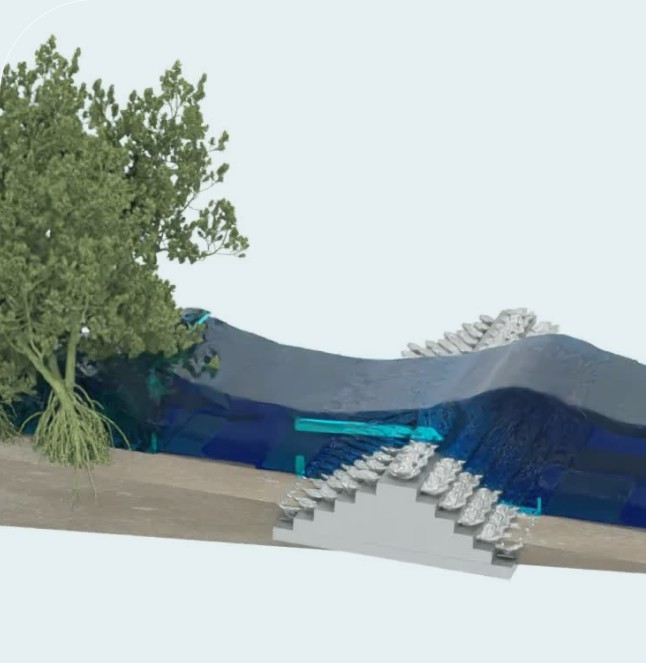
A model should do more than show what may happen. It should help clients understand what matters, what changes the risk and what to do next.
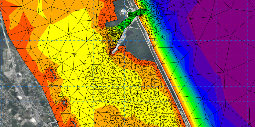
Cummins Cederberg uses coastal, hydrodynamic, wave and numerical modeling to evaluate conditions, compare alternatives and test how solutions may perform in real coastal settings.
The model is only part of the answer.
The value comes from interpreting the findings, explaining the risk and defining the next step.
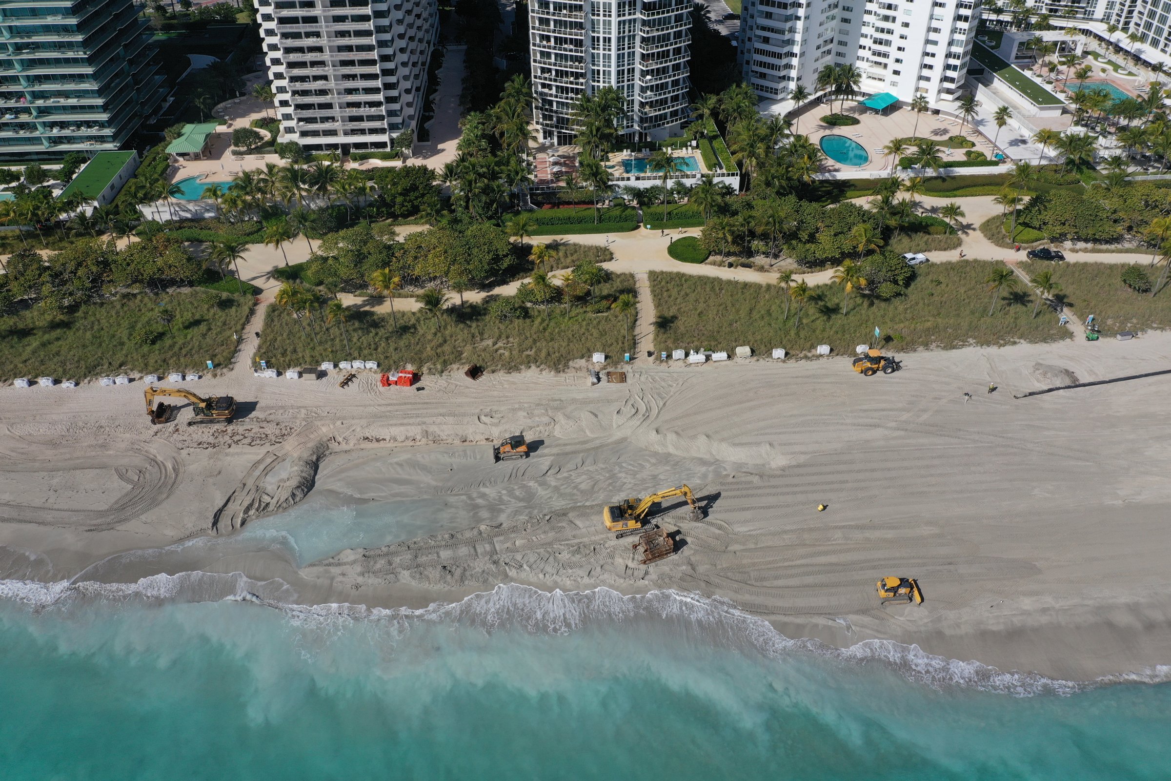
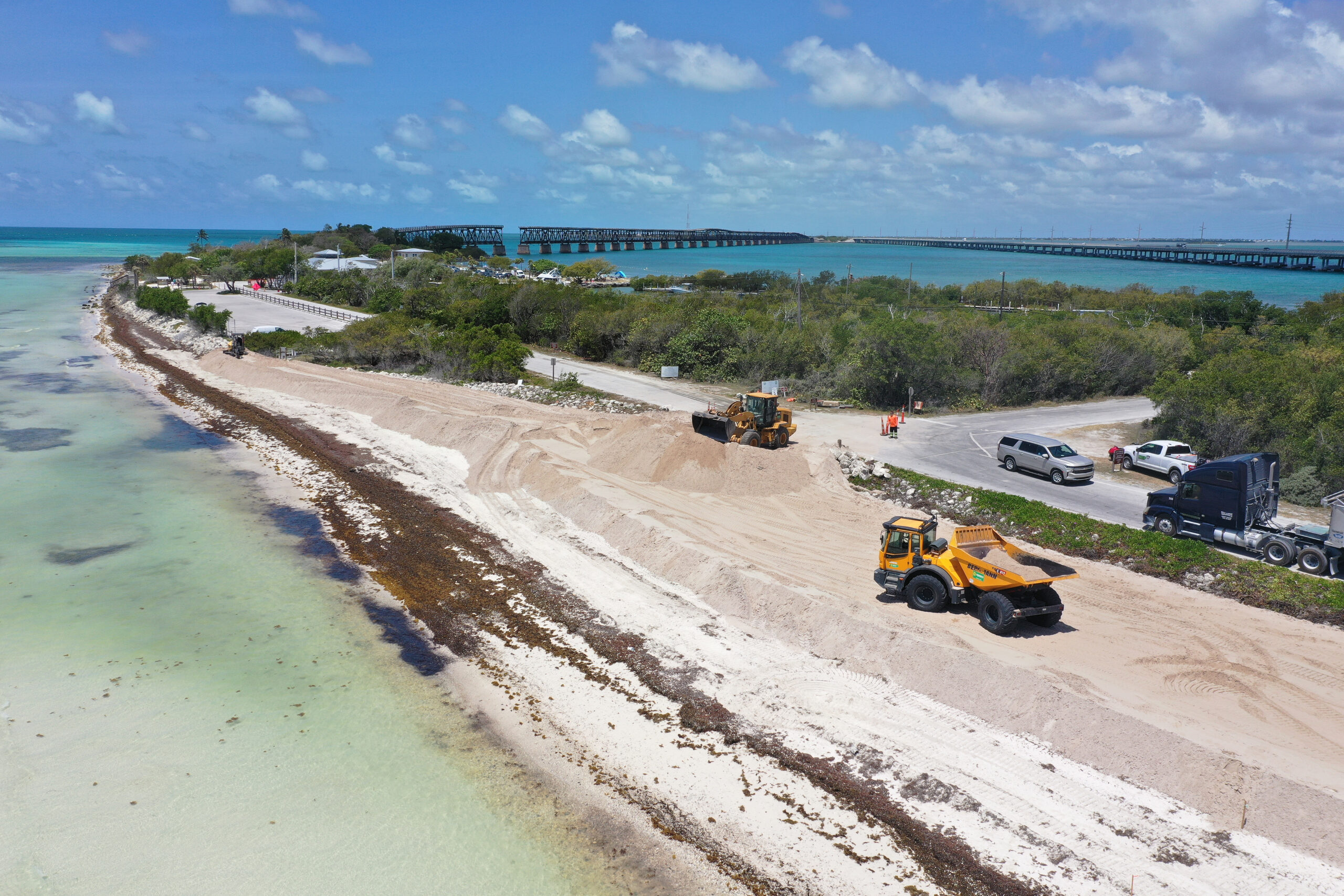
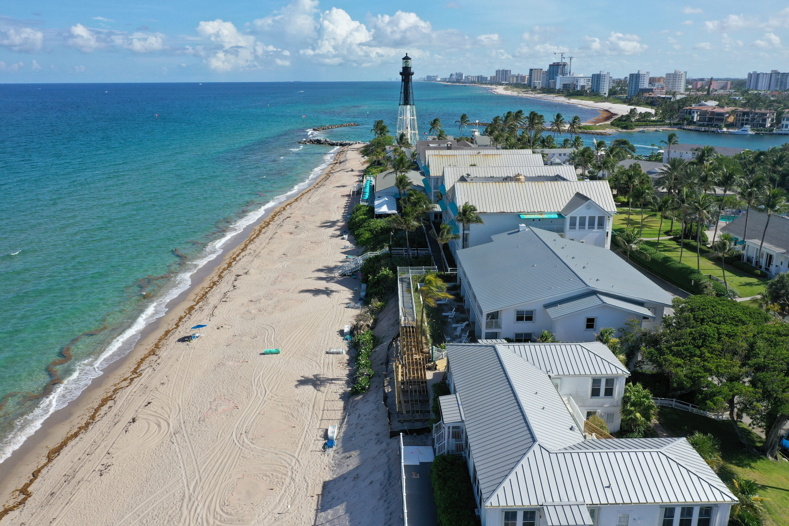
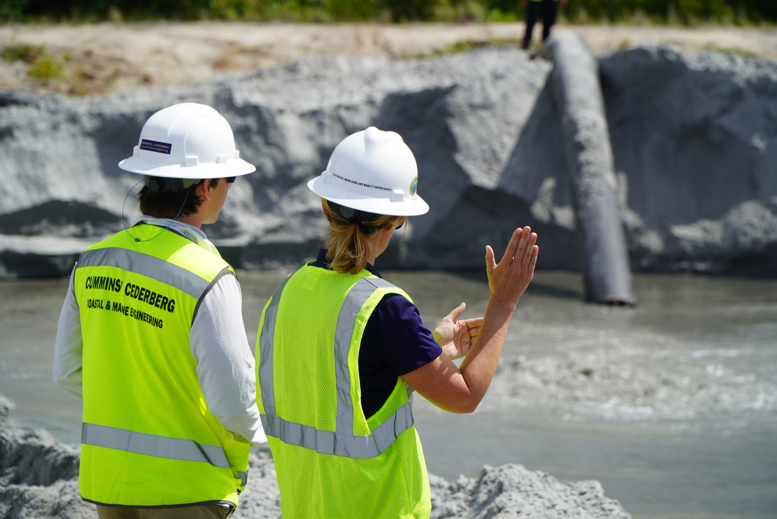
Coastal engineering decisions rarely sit in one discipline. A shoreline strategy may affect permitting. A beach or dune project may depend on sediment behavior, habitat conditions and maintenance needs. A flood mitigation plan may need to balance funding, infrastructure priorities and future coastal change.
Cummins Cederberg’s coastal engineering and modeling team works closely with marine structural engineers, environmental specialists, regulatory professionals and planners, so technical insight is connected to the full project picture from the start.
Evaluating waves, tides, currents, water levels and sediment movement to understand how coastal systems behave and how proposed improvements may perform.
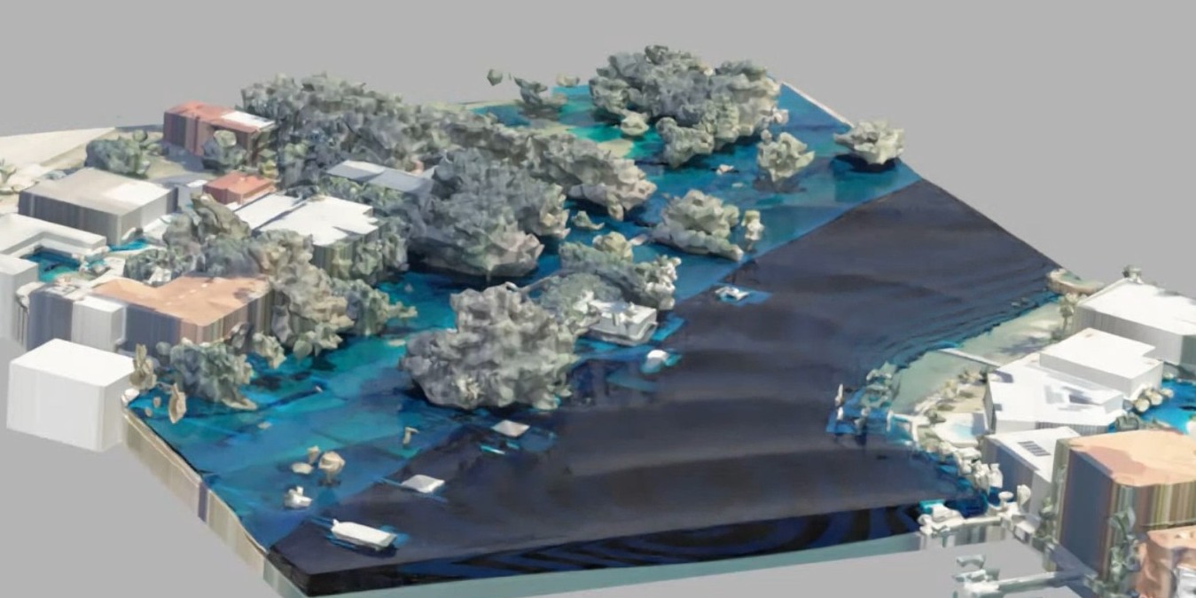
Using advanced modeling tools to study complex coastal, marine and hydraulic conditions where detailed analysis is needed to support design or decision-making.
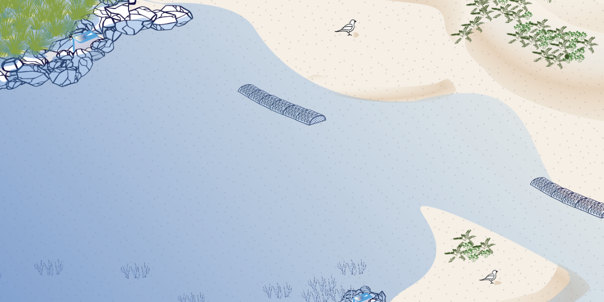
Designing practical shoreline and coastal infrastructure solutions that respond to site conditions, project goals, environmental constraints and long-term performance needs.
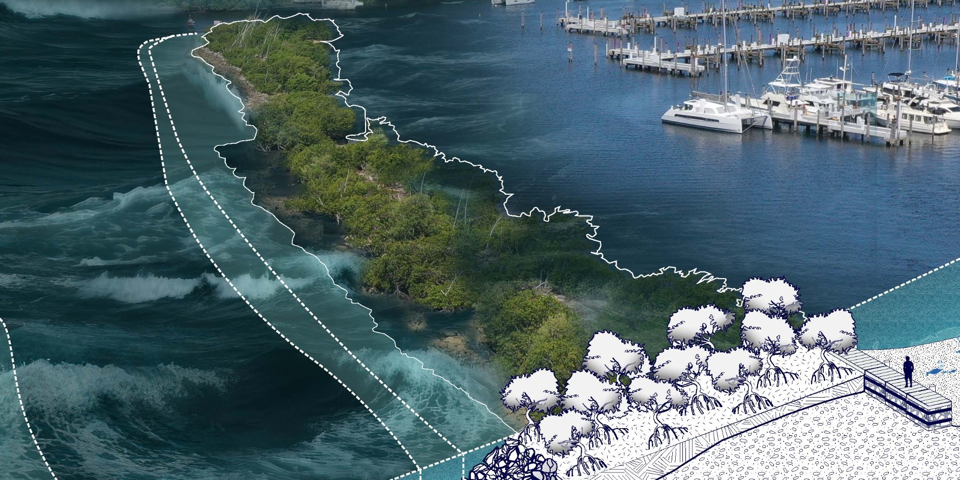
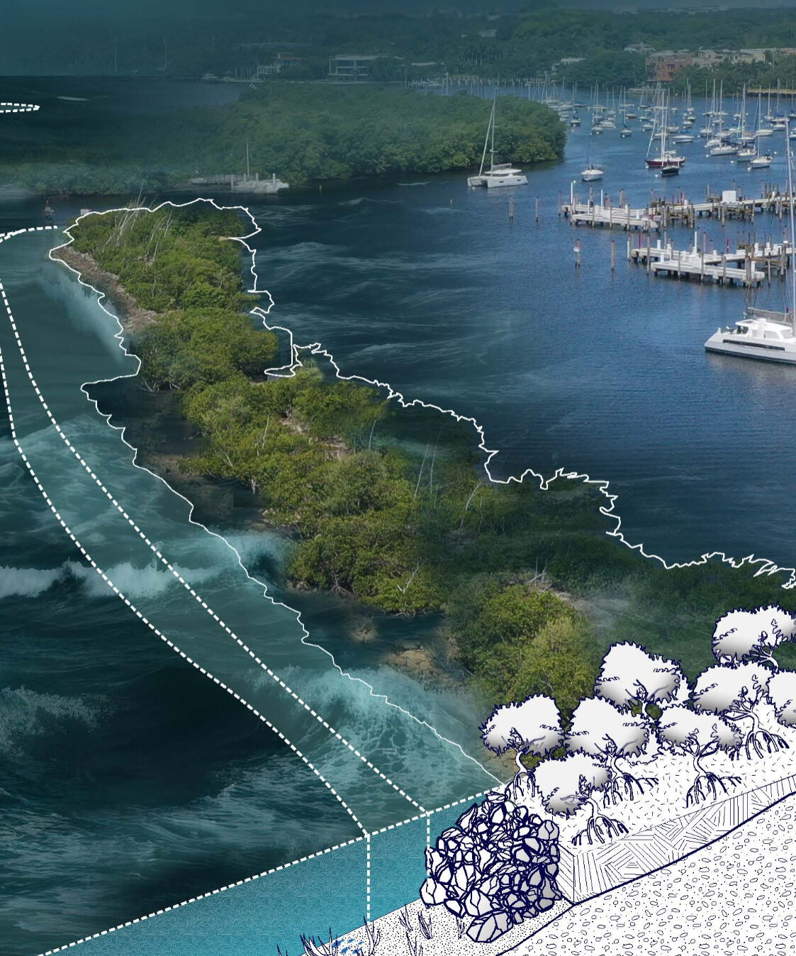
Developing solutions that combine natural systems and engineered infrastructure to improve shoreline performance, reduce risk and support environmental goals.
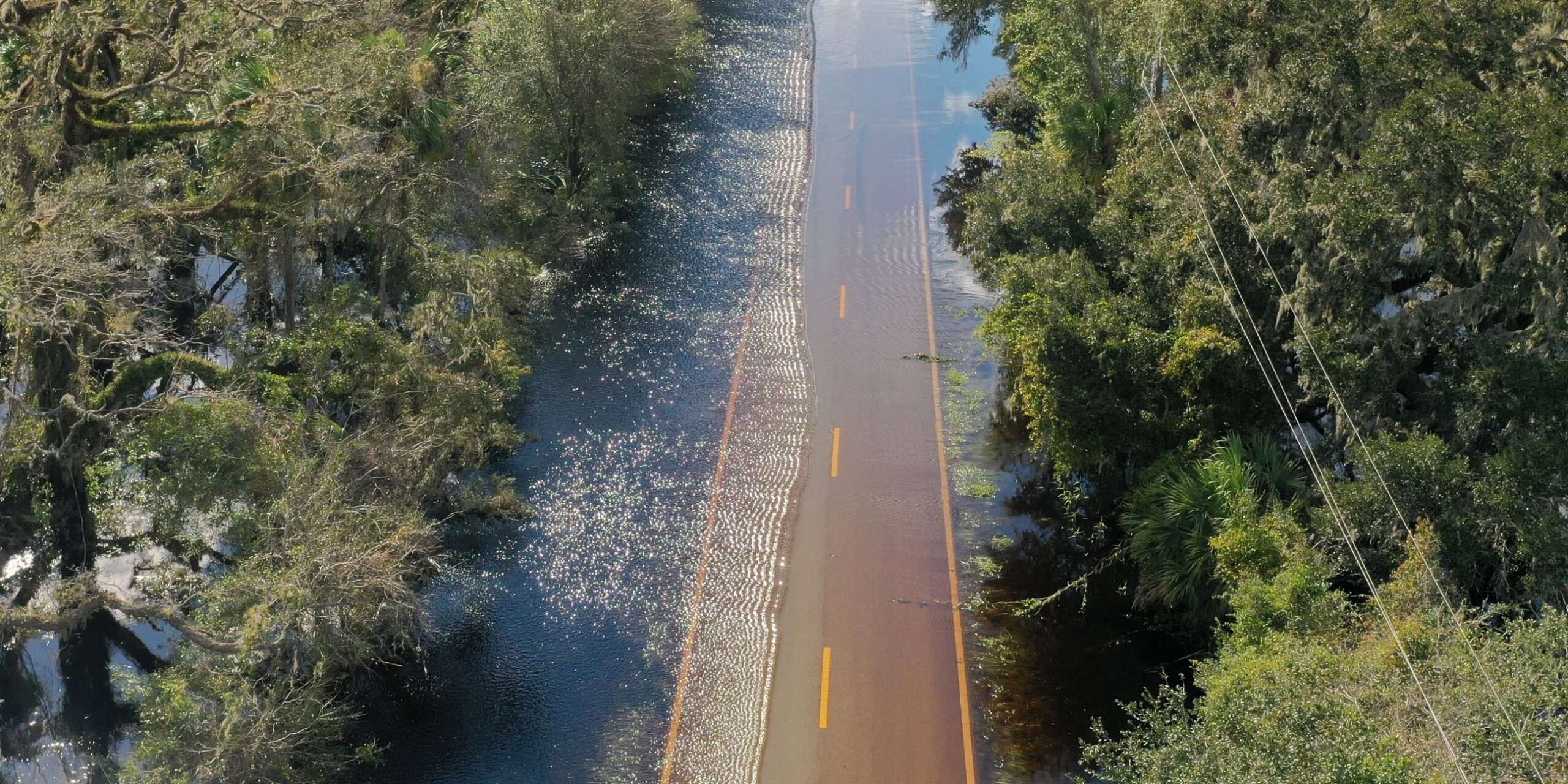
Helping clients understand exposure to flooding, storm surge, sea level rise and changing coastal conditions so they can plan with greater confidence.
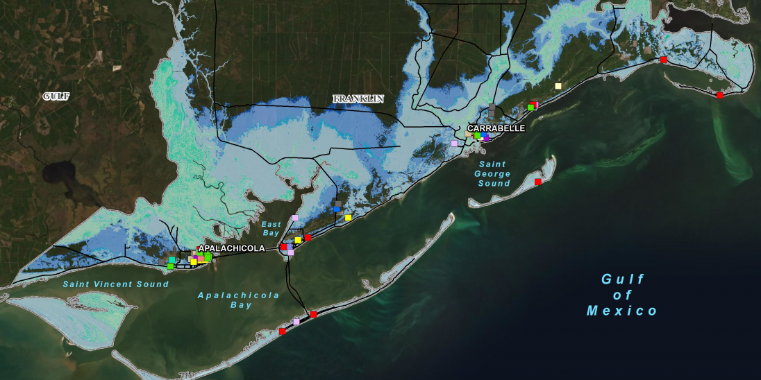
Support funding and implementation with coastal analysis, modeling results and technical documentation that help define the next step.
Lorem ipsum dolor sit amet, consectetur adipiscing elit, sed do eiusmod tempor incididunt ut labore et dolore magna aliqua. Commodo odio aenean sed adipiscing. In quis magna officia proident magna.
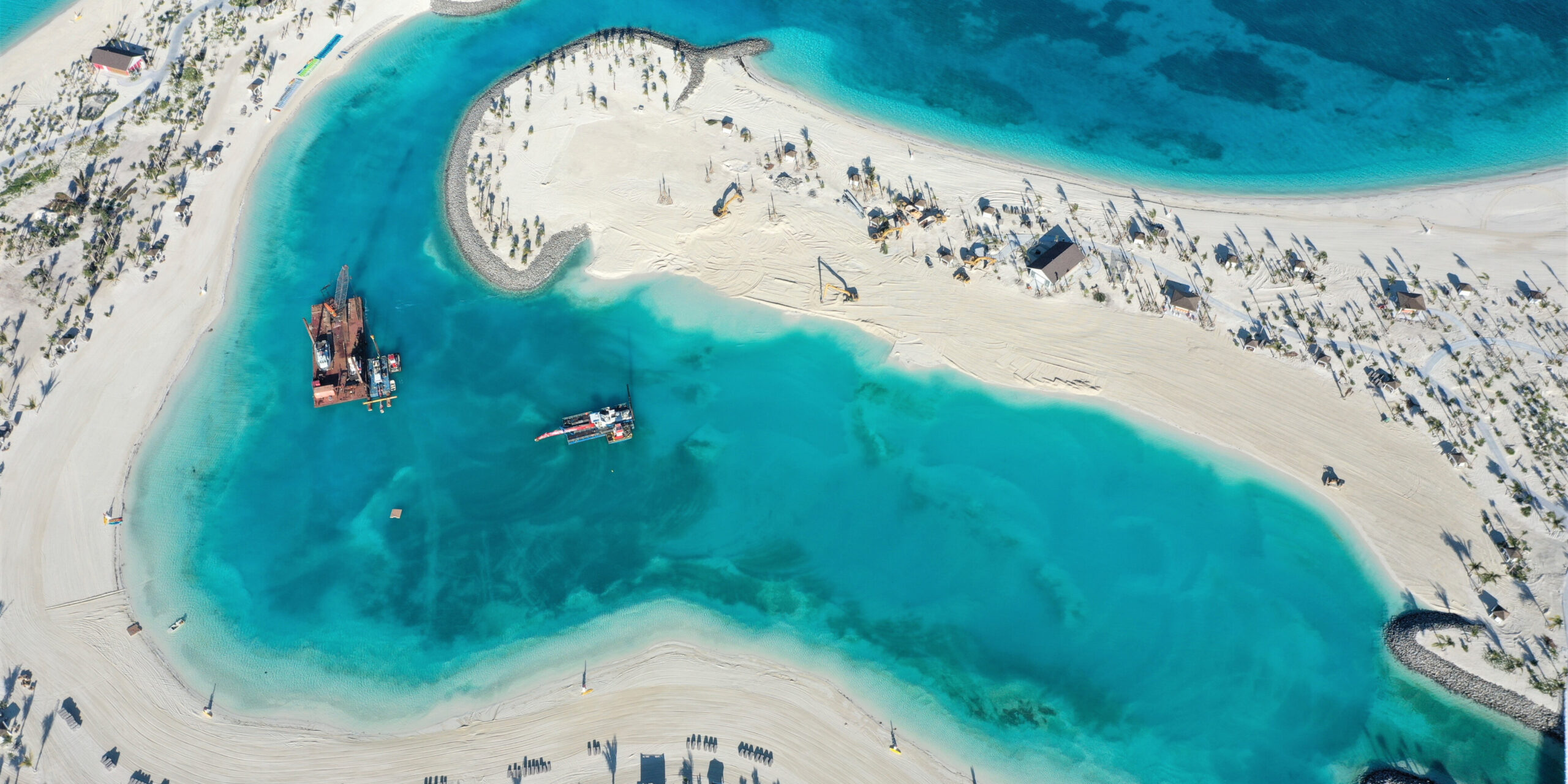
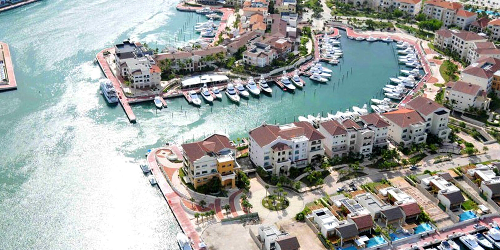
Lorem ipsum dolor sit amet, consectetur adipiscing elit, sed do eiusmod tempor incididunt ut labore et dolore magna aliqua. Commodo odio aenean sed adipiscing.
Lorem ipsum dolor sit amet, consectetur adipiscing elit, sed do eiusmod tempor incididunt ut labore et dolore magna aliqua. Commodo odio aenean sed adipiscing.
Lorem ipsum dolor sit amet, consectetur adipiscing elit, sed do eiusmod tempor incididunt ut labore et dolore magna aliqua. Commodo odio aenean sed adipiscing.
Lorem ipsum dolor sit amet, consectetur adipiscing elit, sed do eiusmod tempor incididunt ut labore et dolore magna aliqua. Commodo odio aenean sed adipiscing.
Lorem ipsum dolor sit amet, consectetur adipiscing elit, sed do eiusmod tempor incididunt ut labore et dolore magna aliqua. Commodo odio aenean sed adipiscing.
Lorem ipsum dolor sit amet, consectetur adipiscing elit, sed do eiusmod tempor incididunt ut labore et dolore magna aliqua. Commodo odio aenean sed adipiscing.
Lorem ipsum dolor sit amet, consectetur adipiscing elit, sed do eiusmod tempor incididunt ut labore et dolore magna aliqua. Commodo odio aenean sed adipiscing.
Cummins Cederberg can help you evaluate coastal conditions, compare practical options and move forward with greater confidence.